Some cyclists, hikers, trail runners … with a GPS device from Garmin like to display waymarked trails on the map page.
Such trails – e.g. for cycling and hiking – are available on the OSM websites of CycleOSM, BRouter or Waymarked Trails.
- But how do these trails get onto the Garmin device (Edge, fenix, GPSMAP, …)?
- Can these trails also be used in combination with a pre-installed Garmin Cycle Map, a pre-installed Garmin TopoActive or any other map?
How do you install the OSM cycling & hiking trails?
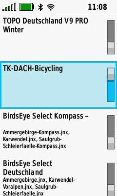
These OSM data can be downloaded from the website www.thkukuk.de and installed on an Edge, fenix, GPSMAP, Oregon … just like any OSM map. For example, for the D/A/CH/FL region, there is the TK-DACH-Wanderwege or the TK-DACH-Bicycling trails for download (Wanderwege = Hiking).
Once these OSM maps are installed and activated as layers they can be combined with other maps.
One thing should be noted, however, these marked trails can not be selected as navigation destinations! They are only an optical additional info on the map!

If you want to navigate along such a route you can either
- plan a tour along the marked trail with BRouter and load it as GPX file,
- use waymarkedtrails.org to download the bike or hiking trail as a GPX file or
- use the route planner of the navigation system to create a multi-destination route along the desired path.
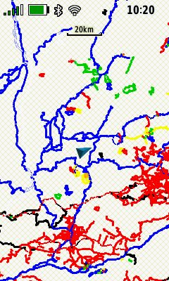
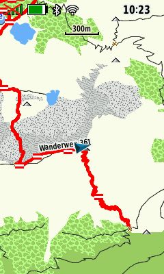
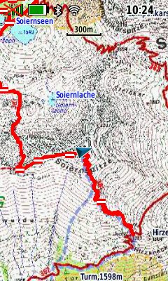
The following screenshots show an example from a Garmin GPSMAP 66sr. On a Garmin Edge with installed bicycling layer it looks similar – that’s why I didn’t take corresponding screenshots.
One thing is evident in the example: Not all marked trails are included, on the screenshot with the TopoActive or Alpine Club map, this is clearly visible.
In summary, it can be said – the maps with the bike or hiking trails are a quick and easy way to install extremely useful additional information on a Garmin GPS device and use it on hiking, running or cycling tours.


