Thru-hiking, section hiking or long-distance hiking gets more and more followers. An important aspect of thru-hiking is the weight of the backpack. Every serious hiker tries to keep the backpack weight – and the total equipment weight – as low as possible.
Another important aspect is navigation – especially in bad weather or when the trail is not waymarked!
In this article you get an overview of the best lightweight GPS devices for thru-hiking, section hiking or long-distance hiking!

Garmin eTrex 32x for thru-hiking
Verdict – Probably the best GPS handheld for weight watchers.
But – because of the slow interface I recommend the eTrex 32x only for looking on the map (where am I?), for navigation with predefined tracks or to navigate to waypoints saved on the device.
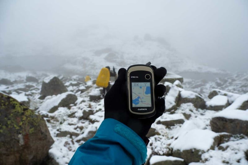
A different tactic could be to use the eTrex in combination with your smartphone. If the weather is fine you use the smartphone, in severe conditions the eTrex (image below).
Tipp – You can connect your smartphone to the eTrex via an OTG cable (e.g. for copying track files).
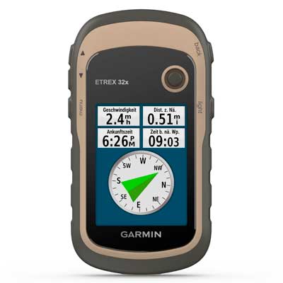
eTrex 32x – Pros
- Light & handy
- Excellent display
- Top-notch battery life (especially with lithium batteries)
- Accurate GPS
- All necessary & basic navigation features
- Built in barometric altimeter for accurate elevation data or weather forecast
- Optional microSD-card for additional maps (e.g. from OpenStreetMap)
- Glove friendly
eTrex 32x – Cons
- Very slow e.g. when zooming & panning the map or searching for POIs
- No Bluetooth interface for smartphone connectivity
- Outdated interface, handling needs getting used to (five keys & thumb stick)
Garmin fenix 6X Pro & Smartphone
Verdict – The ultimate lightweight solution for long-distance hiking.
Every hiker keeps a smartphone. So it is a weight saving solution to use the smartphone for every day navigation – except the weather is bad or you need a hands-free device while hiking. In these situations you can send your track (e.g. a GPX file) to the fenix 6X Pro and start the navigation there.
Otherwise, the fenix 6X Pro has all navigation features you ever need – so you can also use the fenix independently from your smartphone.
I recommend a proven smartphone app like Locus Map Pro in combination with several OSM maps (OpenStreetMap). You can export courses (tracks) from your smartphone to your fenix with Connect IQ Apps like gimporter or with several Garmin Apps (Connect Mobile, Explore).
Best alternative: fenix 6X Pro Solar
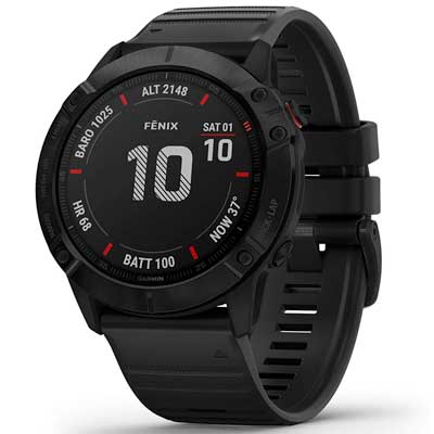
fenix 6X Pro – Pros
- Stunning battery life
- Large display
- Extensive connectivity
- Rugged & reliable
- Feature rich
- Maps & navigation on the wrist
fenix 6X Pro – Cons
- Expensive
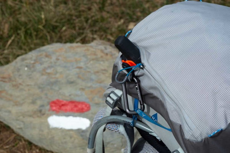
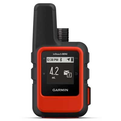
Garmin inReach Mini
Verdict – The best tracking & SOS device for hiking.
The Garmin inReach Mini is the perfect safety and tracking companion for every hiker. You can send and receive text messages, trigger SOS messages and send your actual position ("live tracking") to a website – worldwide and independent from the mobile phone network. In addition, you can connect the inReach Mini to your smartphone or your fenix (e.g. for SOS).
In my experience, the messaging via the Iridium network is absolutely reliable and fast.
inReach Mini – Pros
- Light & small
- Good battery life
- Reliable & tough
- Connects to the global Iridium network
inReach Mini – Cons
- Expensive subscription
Further GPS devices for lightweight hiking
If saving weight is not your first priority I can recommend the Garmin Oregon 700 (touchscreen & keys), the Garmin GPSMAP 64s, GPSMAP 64sx or GPSMAP 65s (keys).
All devices are largely mature and offer plenty of memory e.g. for additional maps.
The Bluetooth interfaces enable you to copy GPX files (e.g. with tracks) from your smartphone to Oregon or GPSMAP (Oregon: Connect IQ Apps, GPSMAP: Garmin Explore).
Weight considerations for thru-hiking
eTrex 32x
- eTrex & two AA lithium batteries: 130 g
- Carabiner clip (optional): 33 g
- Two spare lithium batteries: 30 g
- OTG cable: 15 g
fenix 6X Pro
- fenix with wrist band: 92 g
- Short USB cable: 14 g
- RAV powerbank: 128 g (6.700 mAh)
- USB quick charger: 58 g
inReach Mini
- inReach Mini with carabiner clip: 114 g
- Short USB cable: 15 g
- RAV powerbank: 128 g (6.700 mAh)
- USB quick charger: 58 g
Oregon 700
- Oregon & two AA lithium batteries: 179 g
- Carabiner clip (optional): 33 g
- Two spare lithium batteries: 30 g
GPSMAP 64sx
- GPSMAP & two AA lithium batteries: 201 g
- Carabiner clip (optional): 33 g
- Two spare lithium batteries: 30 g
- OTG cable: 15 g
Smartphone
- e.g. Xiaomi Mi 9 with cover: 189 g
- Short USB cable: 15 g
- RAV powerbank: 128 g (6.700 mAh)
- USB quick charger: 58 g