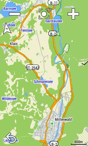
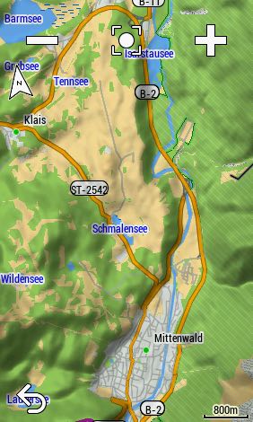
Garmin Edge cycling devices come with preloaded maps.
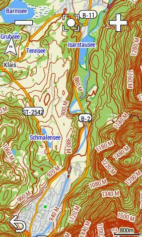
However, the preinstalled Garmin cycle maps, which are based on OpenStreetMap data, have a disadvantage: they do not have any contour lines. Although a shaded relief can be activated, it does not replace the helpful contour lines.
But you can install contour lines!


Where can I find files with contour lines?
- garmin.opentopomap.org (worldwide) (SRTM)
- osm.thkukuk.de (european countries) (SRTM)
- speichenkarte.de (european countries) (SRTM)
- kleineisel.de (Germany, France, Iran, Nepal, Scandinavia, Alps, West Africa) (SRTM & LIDAR)
Contour lines based on SRTM data are somewhat angular in contrast to LIDAR data!
How to install contour lines?
- Download and unzip the files
- Names
- garmin.opentopomap.org: Garmin contours
- os..thkukuk.de: … SRTM …
- speichenkarte.de: e.g. Italien
- kleineisel.de: … lidar …
- Names
- Copy the IMG files with the Windows explorer or Mac finder to the folder "\Garmin"
- Edge in mass storage mode
- Use the memory card if available (e.g. Edge 1030)!
- If you like you can rename the IMG files
- Unplug and restart your Edge
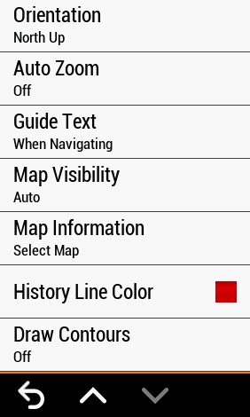
- Activate the map containing the contour lines (activity profile > navigation > map > map information)
- Activate the function "draw contours" (activity profile > navigation > map)
- Enjoy!


Thanks for this!